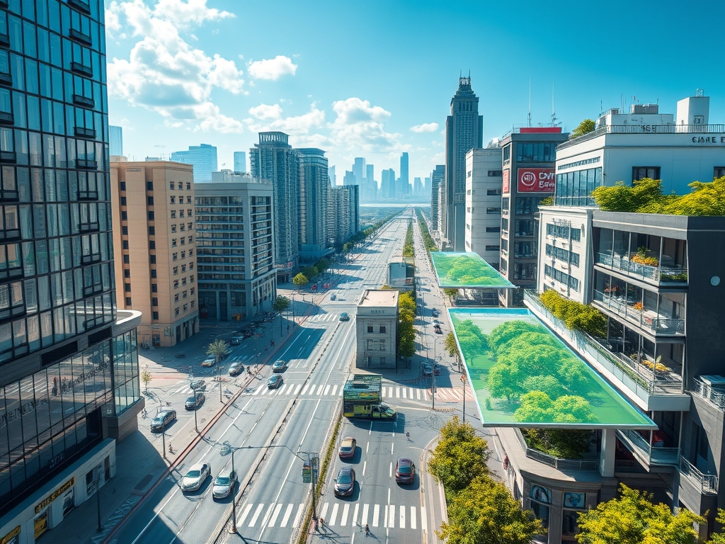
How Virtual Models Are Changing Urban Planning and Smart Cities

Urban planning is no longer a task of drafting static blueprints or conducting isolated traffic studies. Today, cities are living organisms, pulsating with data and demands that evolve daily. To plan effectively, urban planners and city developers need tools that capture this dynamism. Enter virtual models: digital twins and 3D simulations that don’t just represent urban spaces but breathe life into them, transforming how cities are envisioned, built, and managed.
This isn’t another trend—it’s a paradigm shift, one where every decision, from zoning regulations to public transit routes, can be tested and perfected in a virtual replica of the real world.
Beyond the Map: What Virtual Models Bring to Urban Planning
Traditional urban planning tools are static by nature, often unable to represent the complexities of human behavior, environmental impacts, or economic dynamics. Virtual models transcend these limitations by creating dynamic ecosystems that respond to real-time data.
1. Predicting Outcomes, Not Just Planning Actions
Virtual models allow planners to simulate how decisions will ripple through a city before they’re implemented. This includes:
- Traffic Flow Analysis: How will a new bike lane affect congestion during rush hour?
- Energy Usage Simulation: What impact will rooftop solar installations have on grid demand?
- Environmental Impact Studies: How will new green spaces alter local temperatures or improve air quality?
Example: In Singapore, a digital twin of the entire city is used to test urban scenarios, from optimizing waste collection routes to predicting the impact of population growth on public housing.
2. Human-Centric Design
Cities are built for people, yet many planning decisions fail to fully consider how individuals interact with urban environments. Virtual models bridge this gap by incorporating human behavior into simulations:
- Pedestrian Dynamics: Simulate foot traffic in busy public spaces to avoid bottlenecks.
- Public Transit Efficiency: Analyze commuter behavior to optimize bus and train schedules.
- Accessibility Mapping: Ensure that urban spaces accommodate all residents, including those with disabilities.
Opinion: Virtual models aren’t just tools; they’re ethical instruments, empowering planners to prioritize inclusivity and equity in urban design.
Smart Cities: From Reactive to Proactive
Smart cities are defined by their ability to respond to real-time challenges. Virtual models take this concept a step further, enabling cities to anticipate and mitigate issues before they occur.
1. Integrating IoT Data into Decision-Making
IoT devices generate massive amounts of data—from traffic sensors to weather stations. Virtual models synthesize this data into actionable insights:
- Dynamic Traffic Management: Adjust traffic signals based on real-time congestion levels.
- Disaster Preparedness: Simulate flooding scenarios and optimize evacuation plans.
- Energy Optimization: Balance electricity supply and demand using live data from smart meters.
Example: Barcelona’s digital twin integrates IoT data to monitor energy consumption, predict maintenance needs, and enhance public services, saving millions annually.
2. Adaptive Urban Systems
A static city is a stagnant city. Virtual models empower urban systems to evolve alongside their populations:
- Adaptive Zoning: Test how rezoning industrial areas for mixed-use developments impacts housing affordability and local economies.
- Dynamic Public Spaces: Use simulations to reconfigure parks and plazas based on seasonal or event-driven demands.
- Scenario Testing: Evaluate multiple futures for a city and choose the path with the best outcomes.
Case Study: Helsinki’s virtual model helps the city adapt its transit system to the changing needs of commuters, ensuring sustainability and efficiency.
Challenges and Opportunities
While the potential of virtual models is immense, there are hurdles to overcome:
Challenges
- Data Silos: Urban data often exists in fragmented systems, limiting the effectiveness of virtual models.
- High Costs: Building and maintaining comprehensive digital twins require significant investment.
- Skill Gaps: Planners must learn to integrate digital tools into traditional workflows, which demands training and adaptation.
Opportunities
- Collaboration: Virtual models provide a common platform for stakeholders—from policymakers to architects—to work together seamlessly.
- Transparency: Engage citizens by visualizing urban plans in interactive formats, fostering trust and participation.
- Sustainability: Model the long-term environmental impacts of urban development projects, aligning with global climate goals.
The Future of Virtual Models in Urban Planning
Virtual models are more than a technological advancement; they’re a reimagining of what cities can be. By combining data, visualization, and predictive analytics, they enable planners to create urban environments that are not just efficient but also resilient, inclusive, and inspiring.
The question isn’t whether cities will adopt virtual models—it’s how soon they’ll do it, and how boldly they’ll embrace their transformative potential. Planners and architects who master these tools today are not just shaping cities; they’re shaping the future.